
Surveying technology
Drone
With drone-based surveying, we create digital elevation models (DEMs) to provide your project with accurate measurements and model overlays, for efficient site planning and presentation of project progress and results.
Survey
With our drones, we can quickly scan large areas to create digital DEM elevation models. With these DEM models, you have the ability to measure surfaces, volumes or even overlay your BIM or Civil 3D models.
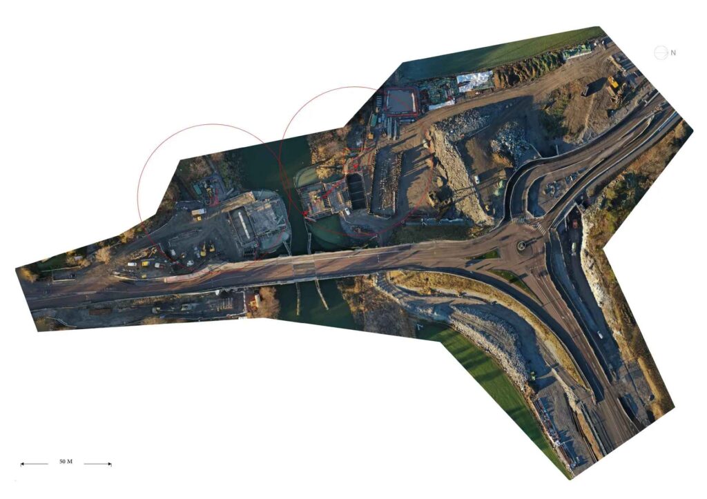
Mapping
We create 2D maps of your worksite and deliver them as PDFs. The maps are to scale, making them easy for your production team to use for quickly measuring distances, plan work, and organize the site. The maps are also useful within QHSE to show site layout plans.
Maintenance work
While we cannot replace a practical inspection, detailed aerial images help you decide where to allocate your resources first.
Photo and video
We also provide your project with an aerial perspective of your worksite and deliver high-quality images and videos to showcase your project progress and results.
Contact us

Complete solutions in measurement technology and construction management
Similar services
Agicon was born out of a need to realize the full potential of geodesy in the construction industry. Today, we deliver comprehensive solutions in surveying and construction management, tailored to your needs.